
Operational intelligence across Earth and orbit.
Aspect combines ready space infrastructure, responsive spacecrafts and the X-Aspect intelligence layer to deliver decision-ready products across Space Weather, PNT, RF Sensing and 3D SAR.
Our Vertical Applications
Explore how Aspect’s spacecraft infrastructure and X-Aspect intelligence layer support Space Weather, PNT, RF Sensing and 3D SAR.
01. SPACE WEATHER
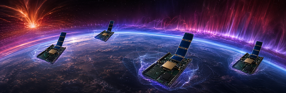
Know the space environment before it impacts the mission.
Solar and geomagnetic activity can rapidly alter atmospheric density, plasma conditions and RF propagation.
Aspect combines in-situ VLEO sensing with the X-Aspect model to improve awareness of the environment affecting spacecraft, GNSS and communications.
ASPECT SOLUTION
Sense in the affected environment
SBS nodes collect atmospheric and ionospheric measurements directly from VLEO.
Increase sensing volume and availability
Deployable and replenishable SBS fleets can expand measurement density, geographic coverage and data availability.
Model the physical environment
X-Aspect combines Aspect measurements with third-party observations and physics-based models.
Deliver operational intelligence
Customers receive forecasts, alerts, confidence fields and workflow-ready products rather than raw measurements.
02. PNT NETWORKS

Resilient PNT when GNSS is compromised.
Ionospheric disturbance, interference, spoofing and jamming can rapidly reduce confidence in navigation and timing.
Aspect combines in-situ sensing, integrity analytics and deployable SBS coverage to support operations in degraded or denied environments.
ASPECT SOLUTION
Sense
SBS nodes measure ionospheric, RF and environmental conditions from VLEO.
Understand
X-Aspect combines SBS, GNSS and third-party data into integrity products, forecasts and alerts.
Augment
Deployable SBS formations can reinforce sensing and support temporary regional PNT requirements.
03. 3D SAR

Augment SAR sensing with 3D capabilities
Distributed multistatic sensing uses multiple SBS positions and viewing geometries to capture radar measurements that X-Aspect reconstructs into decision-ready 3D products.
ASPECT SOLUTION
Distributed sensing geometry
Multiple SBS nodes observe the same area from different positions and look angles.
Responsive formations
SBS units can concentrate sensing geometry over priority regions.
All-weather collection
Radar sensing supports day-and-night observation irrespectively of cloud and weather conditions.
X-Aspect reconstruction
Distributed measurements are combined into terrain, infrastructure, atmospheric and change products.
04. EARTH RF SENSING

Map terrestrial RF activity from orbit.
Wideband sensing and distributed orbital baselines provide awareness of emitters, interference, jamming and spectrum activity across large or difficult-to-access regions.
ASPECT SOLUTION
Wide-area sensing
SBS nodes collect RF measurements from VLEO across terrestrial, maritime and remote regions.
Distributed geolocation
Time-synchronised baselines support bearing and time-difference-of-arrival analysis.
Signal characterisation
X-Aspect analyses frequency, structure, polarization and behaviour.
Responsive coverage
Additional SBS units can increase sensing density and revisit rates over priority areas.
05. SPACE RF SENSING

See what spacecrafts are transmitting, not only where they are.
Radar and optical tracking show where an orbital object is. RF behaviour provides additional context around how it is operating, communicating and changing over time.
ASPECT SOLUTION
Upward-looking sensing
SBS nodes observe RF emissions of LEO, MEO and GEO orbits from below.
Emitter association
Bearing, timing and orbital data help correlate signals with objects and events.
RF fingerprinting
X-Aspect analyses band use, timing, polarization and behavioural change.
Scalable orbital coverage
Deployable SBS inventory can increase sensing density over priority orbital regions.